Tag Archives: 2012 San Jacinto Enduro

One Week Out- Get Ready to Roll

One week from now we’ll be kicking tires and lubing chains. 
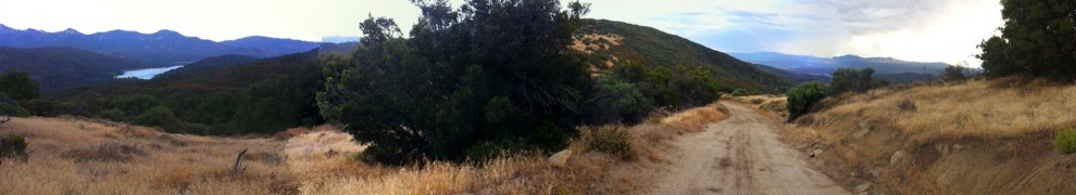
We’ve got the best Enduro route yet, with great weather in the forecast. (knock on wood). Idyllwild is the place to be right now.


Some reminders and things to think about as we get closer:

Food Drive
Bring 3-5 non expired, non opened food items to donate to the Idyllwild Help Center. This is one way we can collectively give back to the Idyllwild community, we can almost think of it as a partial, karmic “payment” for a free ride. 🙂
The Food Bank has a particular need for:
– Proteins
– Fruits
– Soups

Bring it on down for collection at the start of the ride, or anytime at Hub Cyclery, Idyllwild.

Parking
Parking on site will be limited. Carpooling is a great idea. We’ll want to park in an orderly way, parallel to the road.

Camping
Good times will be had. Join us. The weather is looking favorable, but don’t forget to bring your warm sleeping bag.

Start List is Closed
We’re a week out now, in endurance riding terms that’s “last minute.” Let’s ride!


Downloadable Maps for the 2012 San Jacinto Enduro

Click and ENJOY. 

Thanks to Matt Palmer for doing the legwork on these. They look great.

EnduroSHORT1

EnduroLong1

SJ Enduro Update

We have loads of Enduro changes & updates.

20121005-070527.jpg

1) The route has no second loop anymore, at least not in the format we’ve used before. The more remote, “western style” second loop in the Wagon Wheel/ Morris Creek area is gone. Instead, we will be riding more Singletrack at elevation, near Idyllwild and in May Valley.
Why? Because it is good. And because the non management is hopelessly swayed, influenced by the pressure of a couple Enduro cool kids who’d gone OCD with the whole thing while the non management was checked out on vacation. Hey, pimpin ain’t easy.

What’s this mean? The route(s) are more singletracky for sure. The new big route is shorter than 2011 in distance but probably comparable in riding time. The shorter route is just more fun than it used to be.

2) We will have GPS tracks & cues for both loops ready by next Wednesday at the latest. GPS use isn’t mandatory, of course, but darned close to it. Unless you really, really know these trails you will want to use the GPS track. Especially for the big loop.

3) We will let the start list shake out another week, then set it in stone next Friday. No wait list after that, just a start list.

4) The food drive is for real. Don’t bring last year’s pumpkin pie filling. Fess up the good stuff.

5) There’s an informal pre-ride of the route changes heading out from Hub Cyclery tomorrow, Saturday. Come ride if you can make it. Or come another time. Let’s ride, holler.

6) Here’s the rundown of the routes as they stand now:
“Short” route
Thomas/Rouse/Control rd… Tollgate (same so far)
Idyllwild.. through town, Tahquitz View/South Ridge/Ridgeline/Log Pile/Snakeskin/Spine/2nd Bro/road/Missing Link, etc, home.

Long Route
Thomas/Rouse/Control rd… (Same so far)
Rattlesnake/Fuel Break/The Big O loop/Hub/Idyllwild…
Through town for restock…
Tahquitz View/South Ridge/Middle South Ridge/Snakeskin/Cahuilla/1st Bro/Lazy Bones/road/Bonita Vista/Meadow/road/Spine/2nd Bro/Grindstone/road/3rd Bro/Secret/Missing Link/etc/home.

Enduro Route is Looking Good

The new & improved Enduro route is just about ready.

The first loop is getting some changes. It’s an even better route, albeit a little longer and yes, even harder. The changes are as follows:
-coming into Idyllwild, we will go up South Circle drive instead of Saunders Meadow.
-Tahquitz View
– South Ridge fire road
– South Ridge Singletrack, Traverse, down to May Valley rd.
– Log Pile/Snakeskin/Second Brother/Grindstone/Secret/Missing Link/Rage through the sage/Tunnel of Love

We need to redo the GPS track on the first loop.
Conditions are good. Most of the Thomas Mountain climb (and the Pole Line trail) were graded in June, and still looking good after the recent rains.
Morris Creek Singletrack is still chunky as ever.
The water flow at Cow Pie Spring is very weak. 😦
Ramona Trail is in great shape.

Once we redo the first loop GPS the route will come available. It’d be great to post the gpx file here… that’s an open solicitation for you tech heads to clue me in as to how to do that. 🙂