Category Archives: enduro info

Enduro Communique

RSVP’d riders should have received cue sheets & maps for the route by now.

If you haven’t, please drop an email with your name & town to sanjacintoenduro@gmail.com

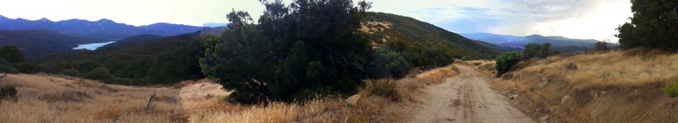
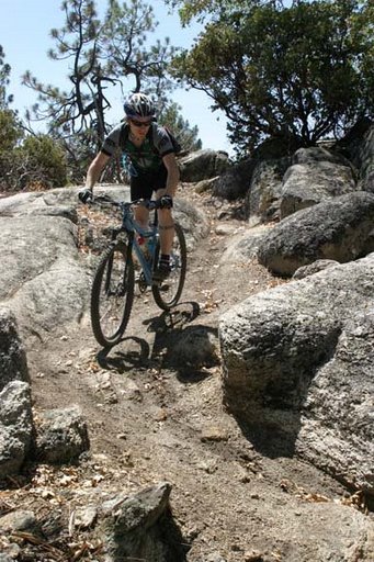
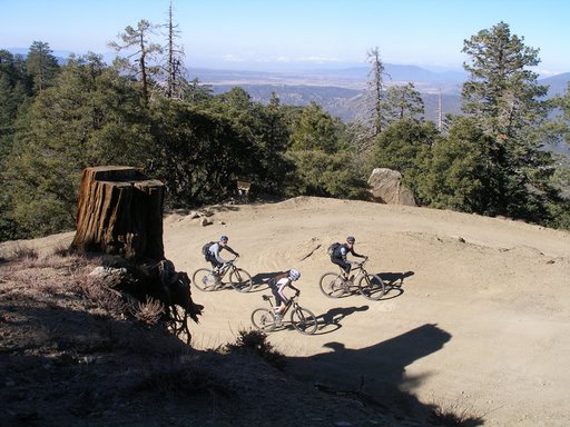
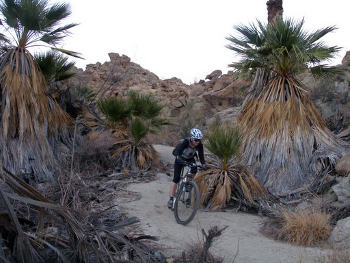
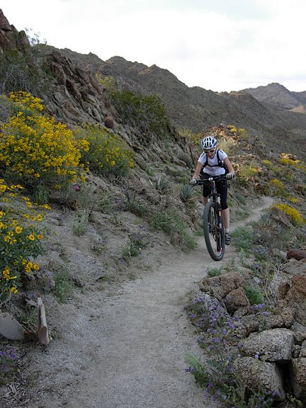
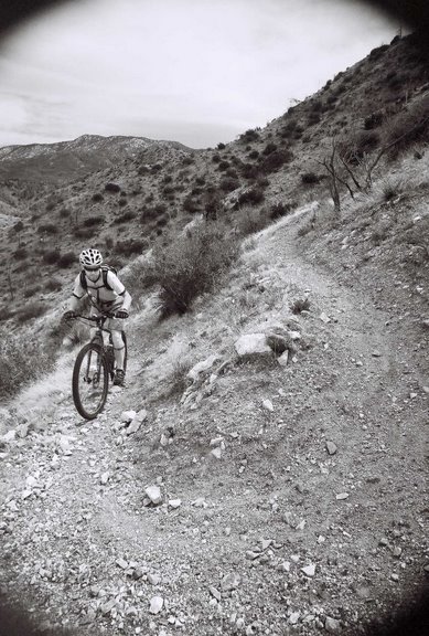
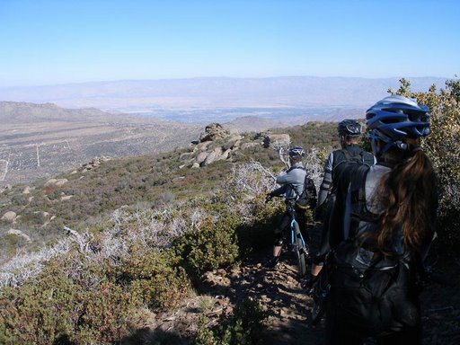
Know what you’re getting in to. This is an exceedingly difficult ride, going through remote & imposing areas, a long ways from medical assistance & other benefits of civilization.  This is NOT for a weekend warrior. You are expected to ride the entire route, self supported with no assistance of any kind. This includes but is not limited to wilderness nagivation, mechanical support, food & water, etc.
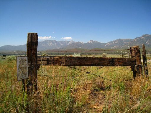
It is not a closed route, expect to encounter motorized vehicles, equestrians, hikers, hunters, and other trail users. You will be on public roads, highways, and singletrack, interacting with the general public- act accordingly, obey the rules of the trail & road. Study the maps & cue sheets, print them out. Expect NO prepared materials on the day of the ride.
We provide the route, suggested start time, and tabulated times- nothing else. Prepare as if you were riding the route solo. Read & understand the course rules here:
http://sjcenduro.wordpress.com/about/

Other info:

Detailed route info will be available on the cue sheets and maps.

Public water sources (natural & municipal) are available near the start, at mile 22, off route near mile 33, and again at mile 46. There are NO viable water sources on the second loop whatsoever.

Time for a very fast rider on the first loop has been 5- 5 1/2 hours, and 2- 3 hours for the second loop.

Camping info will be available upon RSVP.

Start list with RSVP’d riders will be published next week.

rouseridge

Enduro Update, 10/7- RSVP Info, Mary’s Presentation

The cue sheets are verified & we’re just about ready to go!

The route has closer to 11k in climbing, NOT 16k. Again, that’s 11,000 ft in climbing, not 16,000… sorry for the confusion. We have local superstud, Todd Carpenter to thank for verifying the route & cue sheets with his supergadget.

RSVP info– drop an email to sanjacintoenduro@gmail.com if you plan to attend. You will receive a digital copy 0f the map, cue sheets, and other relevant ride & camping information. All attendees must RSVP!

Ride start time is 6am.

We will have two Tour Divide veterans in attendance, though only one is racing… the other is pregnant and will likely be seen around camp eating for two.

On that note, mark your calendars for Mary Metcalf-Collier’s Tour Divide presentation at the Rainbow Inn, Idyllwild on October 21st. There will be a wine & cheese reception at 5:30pm, followed by a slide show & lecture from 6-7pm. It’s free! Dinner to follow at the Gastrognome.

enduroflyer

It’s On!!!!!!!!

So we are on it this year.

  • Date:  October 24
  • Startime: Prepare for Early……like real Early
  • Place: Idyllwild, CA and the surrounding San Jacinto Mountains
  • Route: It’s going to be BIG

In the process of solidifying camping for friday and saturday night…….Route will be up shortly.

So for now mark it down on your calendars and check back often for updates.

San Jacinto Eye Candy

The SJE will likely ride through some of this goodness:

While we don’t have routes hammered out, we’ll likely string together some of these areas in one fashion or another.

May Valley- Some of the ride’s most satisfying singletrack will be on one of our local trail systems here. May Valley leads to Hurkey Creek (site of the 24 hour race) and out to Thomas Mountain. Pine Forest to Chaparral here.

The Lake Hemet Market- The first and last chance for water and calories (or beer & bait) before heading up Thomas Mountain en route to the Ramona Trail on the way out. Same situation applies for the climb out of May Valley back to Idyllwild, if we go that way. The market sits at about 4200ft, for reference. If you’re a city girl and you see this truck- be careful. 😉

Garner Valley- Stunning views of the mountain will surround you here. We’ll probably hit a little asphalt in this area.

Ramona Trail- After we’ve climbed Thomas Mountain, we’ll descend the Ramona Trail, a tight, rugged singletrack. Once again, you’ll descend from Pine forest down to Chaparral.

Pinyon- This shot was taken from the Pinyon Flats campground, a potential bail-out or aid station. Pinyon is the upper trailhead of the Palm Canyon Trail. Santa Rosa Mountain looms in the background. You’ll start seeing desert plants & wildlife here.

Santa Rosa Mountain- a big, stout climb up a fire road leading to the Sawmill Trail. Snow will be possible at the top. You will enjoy views of all of Mt. San Jacinto, as well as far reaching vistas into Joshua Tree NP and beyond. Desert Steve Ragsdale’s mark can still be seen up here…

Palm Canyon- from the Sawmill Trail on Santa Rosa, we’ll descend to Pinyon, and can proceed down into Palm Canyon. This singletrack takes you from Chaparral down to desert.

This will be good!

Ideas a-flowin’

So we’ve had some emails & trailside discussion.

The timing for November is getting a thumbs-up, as is a takin’ it easy, grill & chill philosophy.

The thought at the moment is we can start in Idyllwild, sans autos, and head out on some guided rides through our most delicious singletrack in May Valley. From there we can make our way across the mountain, perhaps with permission on some private property that parallels the highway (dirt > than asphalt) and find ourselves in Pinyon, where we’ll have a mid-day feast waiting & a possible bail-out point.

From there… we can point downhill toward Palm Canyon. Yes, there’s a palm oasis down there!

Get t’ gettin’

So let’s do this.

The time is nigh to get the word out, hammer out a date, and do some riding. Got any ideas?

Here’s some more thoughts to consider:

– we have a short winter up here, relatively speaking. We can host this as late as November- or as early as March- and enjoy comfortable temps & good trail conditions.

– we have a County Park within walking distance of town center, and plenty of B & B’s and hotels. You can drive up the mountain, park, get out, lock the car & throw away the keys. You won’t need ’em until you’re done. Everything in town is accessible by foot or bicycle traffic.

– Our route can go off the mountain, and into the desert. With climate zones in the pines, the chaparral, high desert, and low desert. Elevation high point in the 6K range (possibly as high as 8.5K) and as low as 1K in the desert. Expect some climbing.


– Also expect some tasty singletrack. Much more technical than you may expect in So Cal. Trail surfaces can include decomposed granite, boulders, rocks, sand, and washboard.

– Awards. Yes, we will have them. No, they won’t be worth much. But they’ll be good nonetheless.

SJC Enduro: coming soon

That’s right- the exploratory committee has convened. Idyllwild may have a whole new ride on its hands.