The new & improved Enduro route is just about ready.
The first loop is getting some changes. It’s an even better route, albeit a little longer and yes, even harder. The changes are as follows:
-coming into Idyllwild, we will go up South Circle drive instead of Saunders Meadow.
-Tahquitz View
– South Ridge fire road
– South Ridge Singletrack, Traverse, down to May Valley rd.
– Log Pile/Snakeskin/Second Brother/Grindstone/Secret/Missing Link/Rage through the sage/Tunnel of Love
We need to redo the GPS track on the first loop.
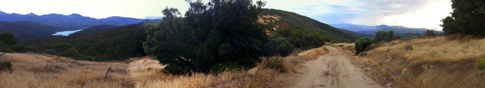
Conditions are good. Most of the Thomas Mountain climb (and the Pole Line trail) were graded in June, and still looking good after the recent rains.
Morris Creek Singletrack is still chunky as ever.
The water flow at Cow Pie Spring is very weak. 😦
Ramona Trail is in great shape.
Once we redo the first loop GPS the route will come available. It’d be great to post the gpx file here… that’s an open solicitation for you tech heads to clue me in as to how to do that. 🙂
")


How does arizone endurance do there’s they have gpx files cues. How about using ride with gps. Ceate socal endurance account put the gps files there create a link.